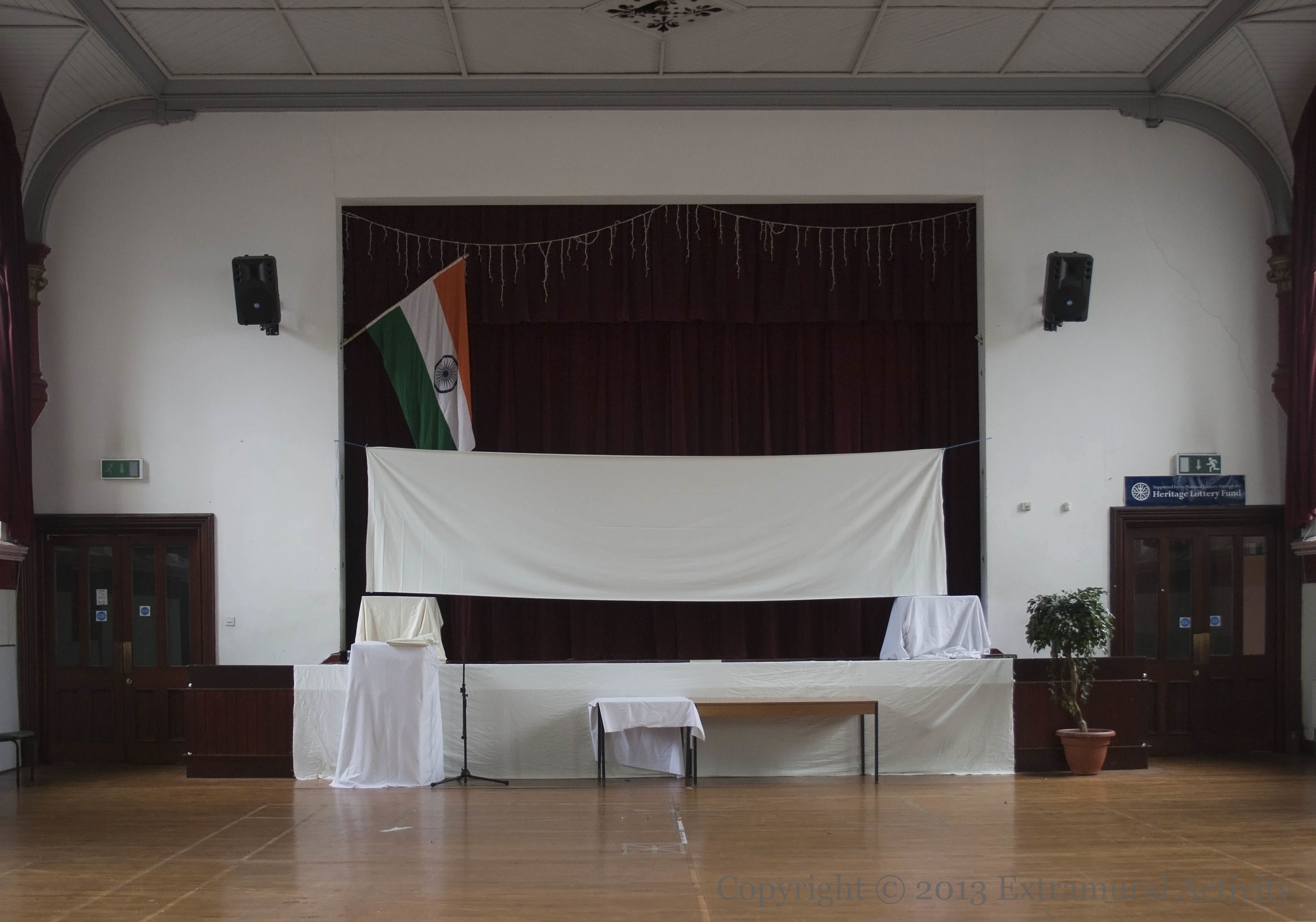
A subdued, sheet-covered, Indian community hall, between the Carlisle Memorial church and the Clifton Street Orange Order hall, was open to the public during the European Heritage Open Days.
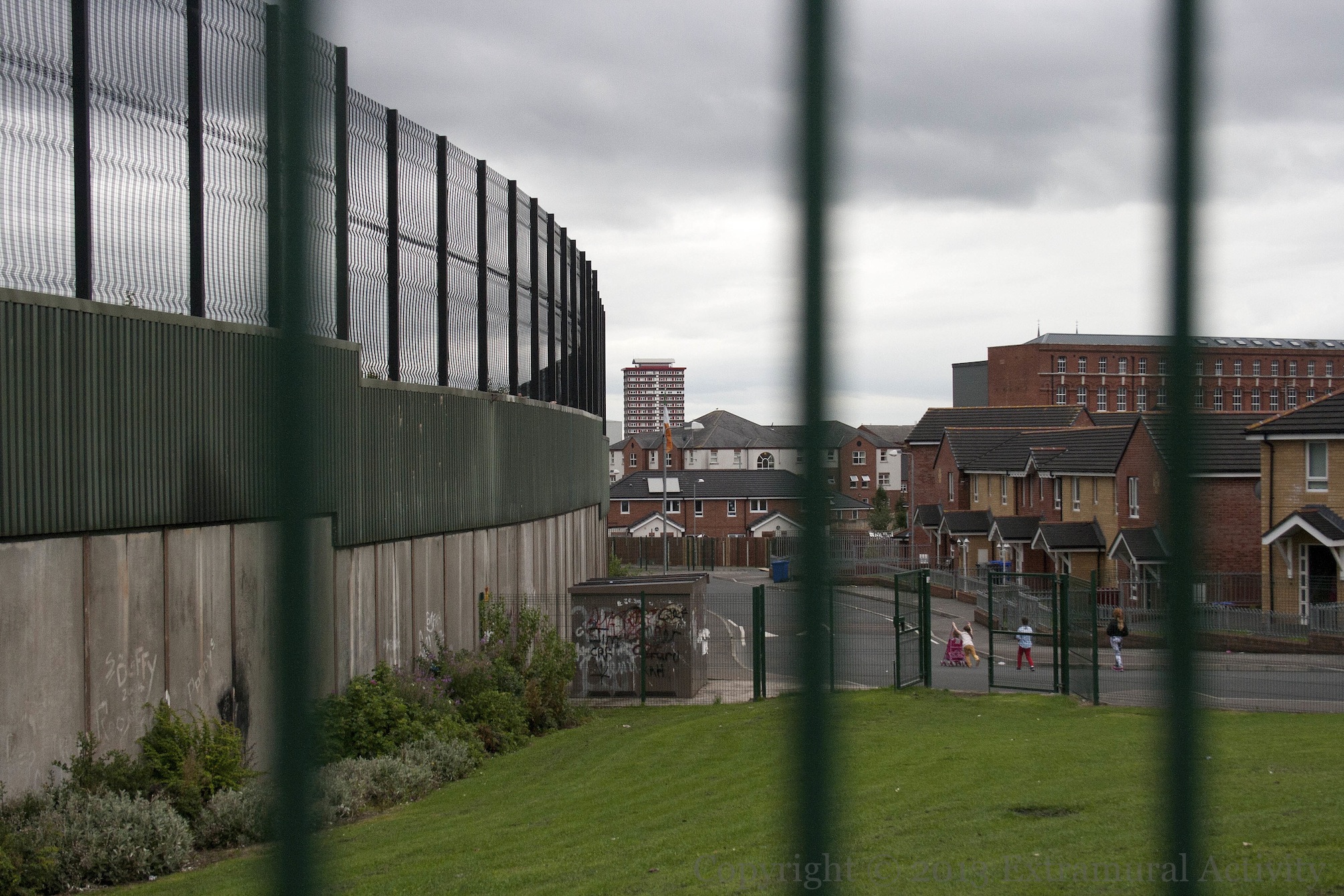
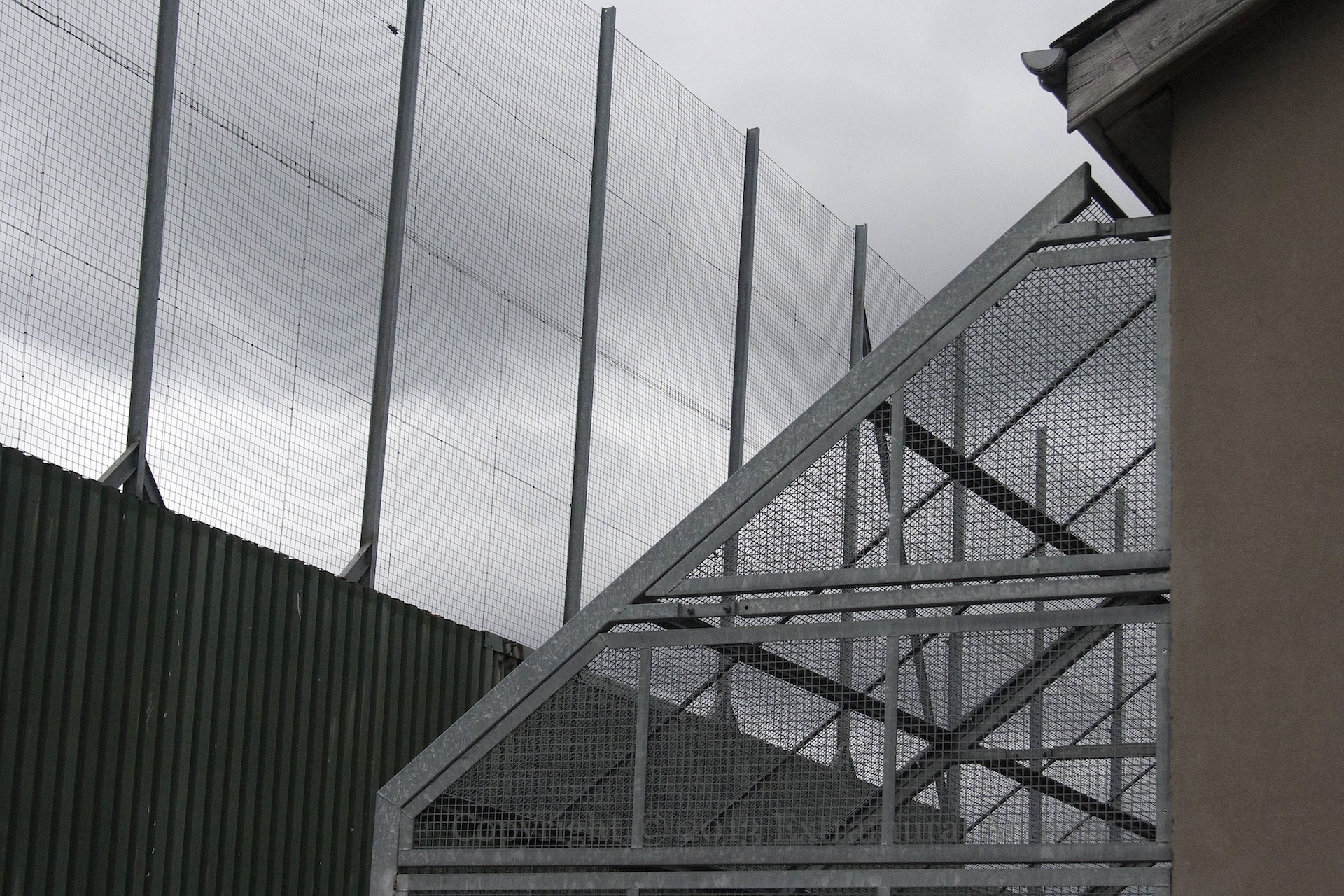
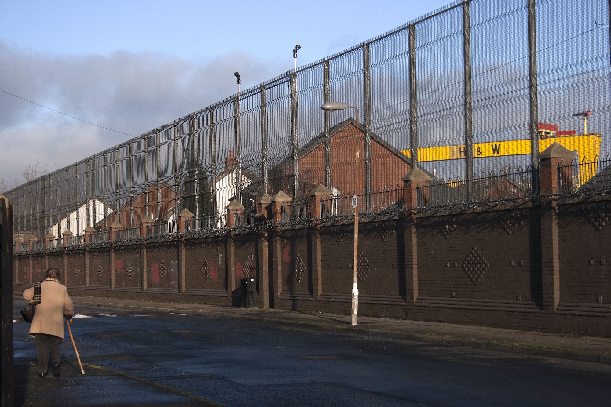
Previously we featured an image from the north (loyalist) side of the Cupar Way “peace” line, a.k.a. “war wall” or “wall of hostility” – the wall/fence separating neighbourhoods along the Shankill from those along the Falls. Here are two shots from the south (republican) side of the line, in Bombay Street. Divis tower is visible in the distance in the first. The second, below, shows the additional fencing that covers the backs of some houses.
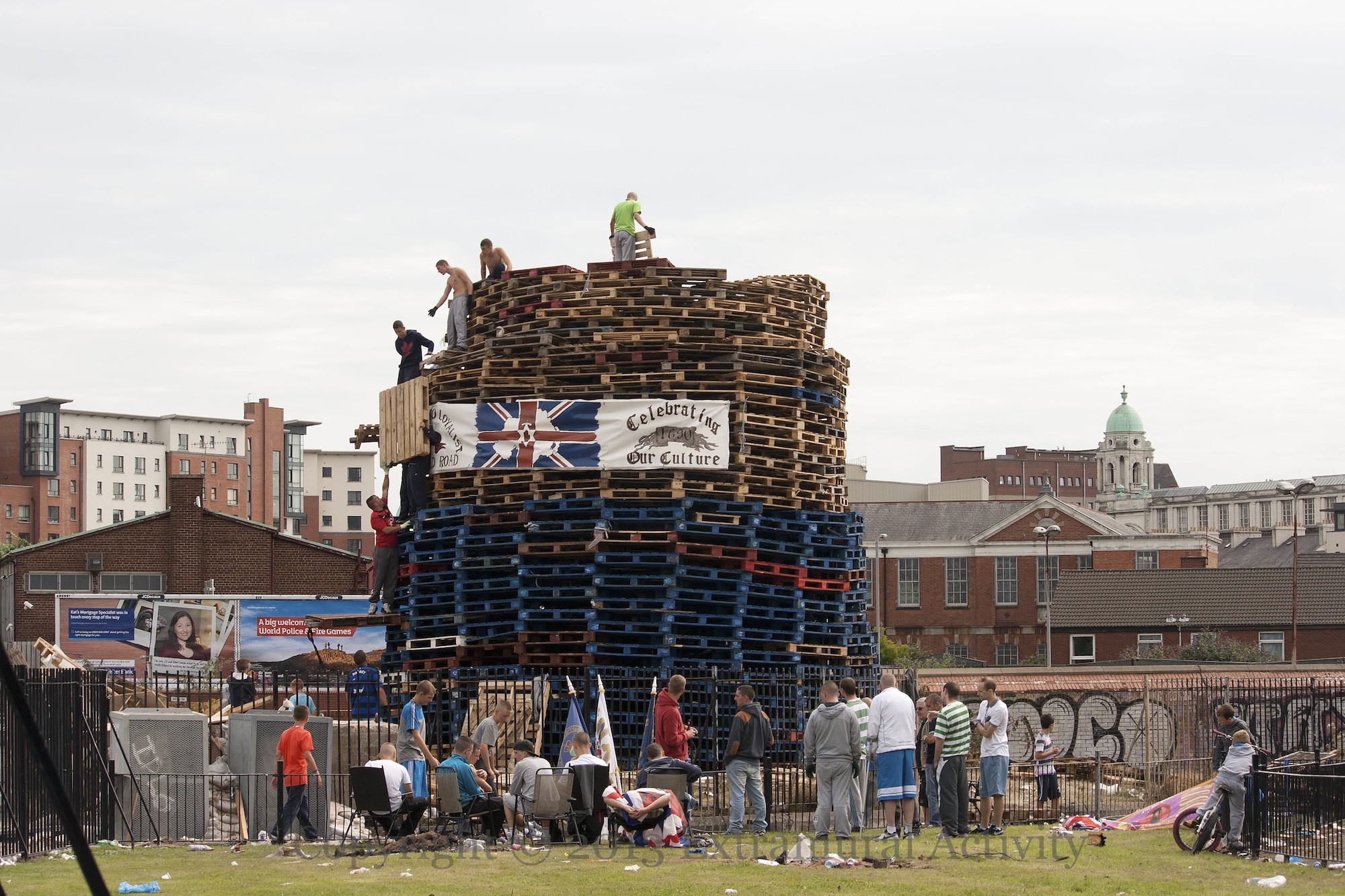
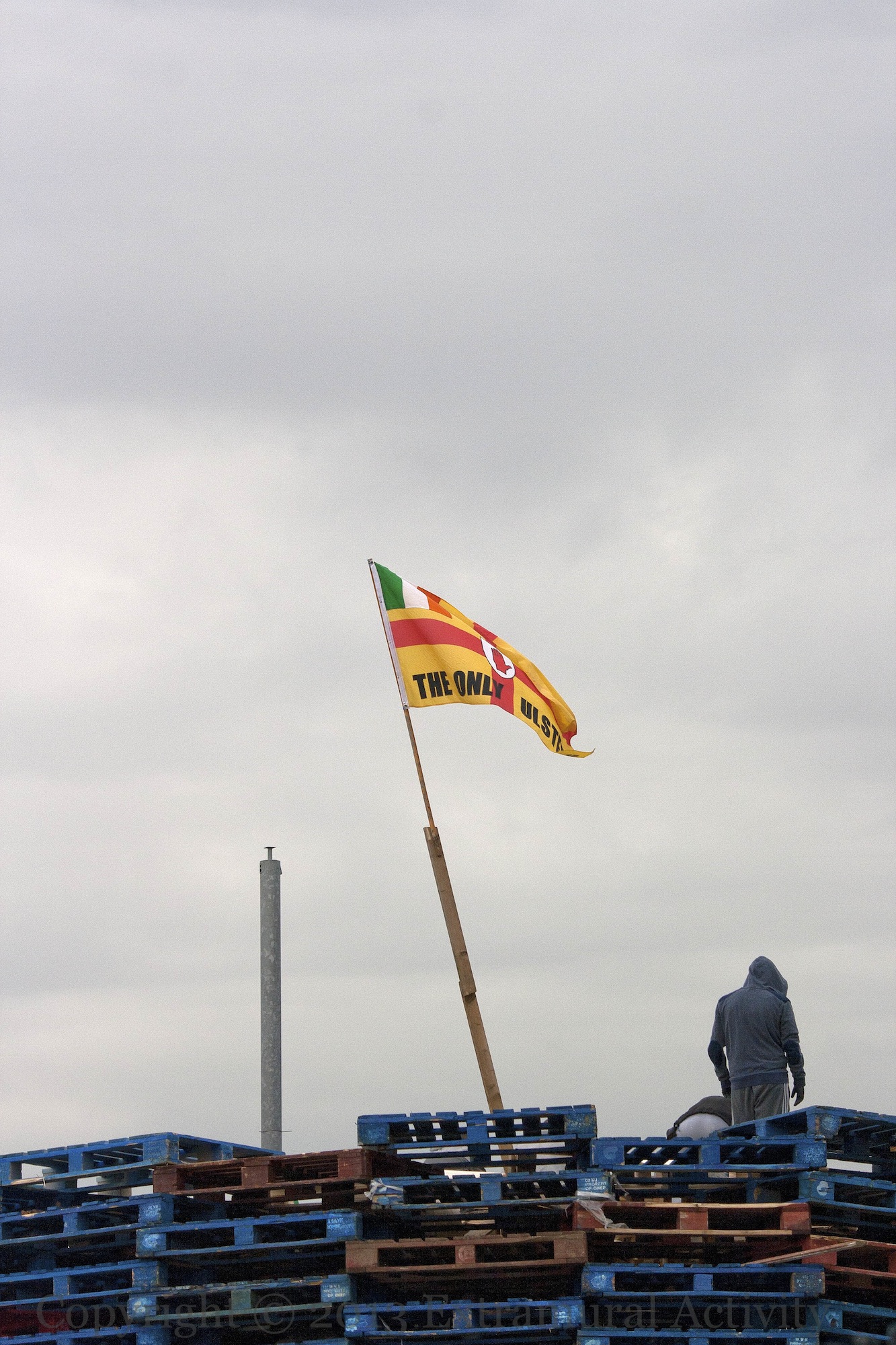
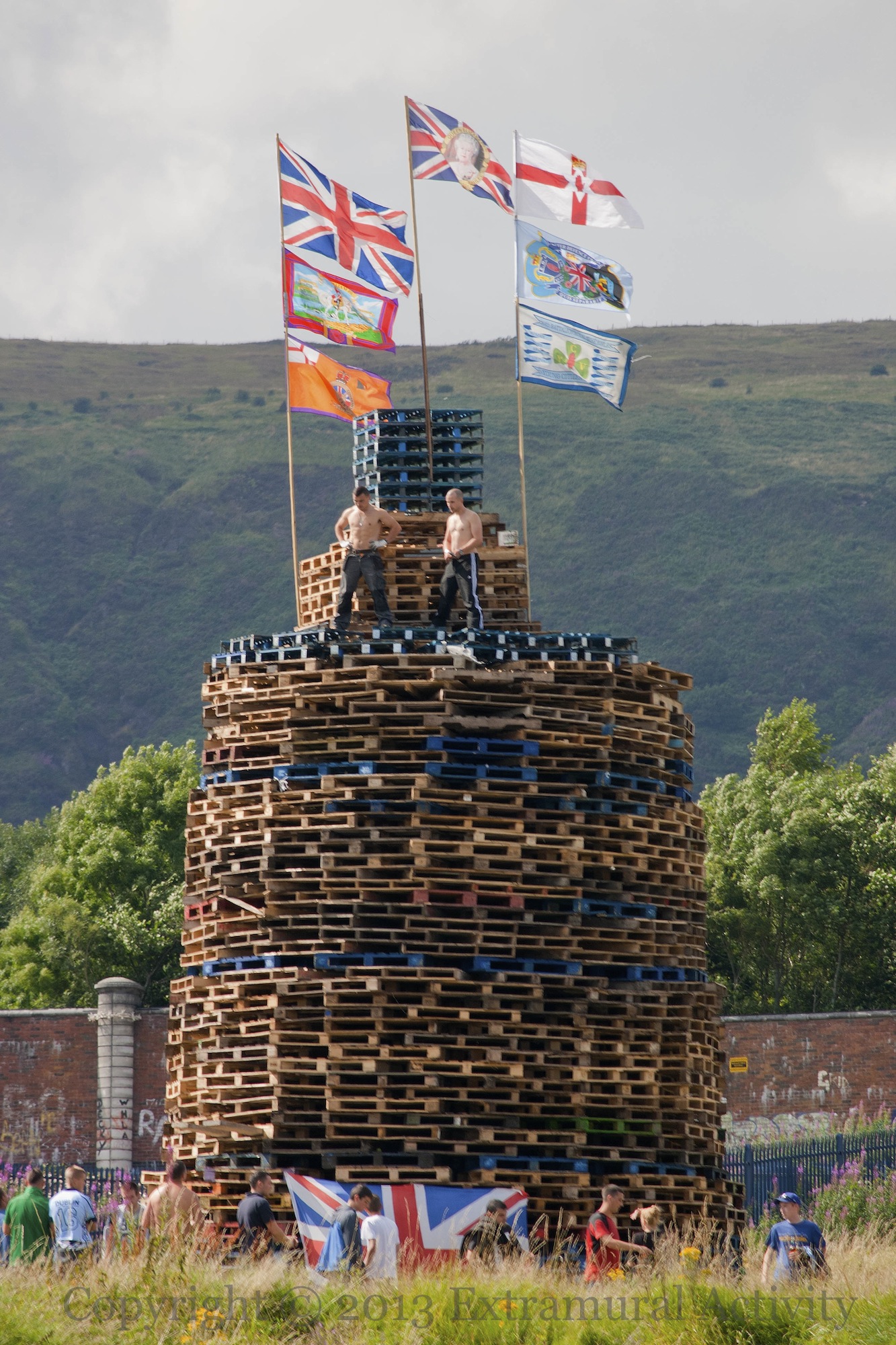
Three images of flags on two republican bonfires, built to commemorate the introduction of internment in 1971. According to news reports (e.g. BBC-NI), the ‘Celebrating Our Culture’ banner on this bonfire at the base of Divis tower had been stolen from Linfield Road in south Belfast (it hung to the left of the mural to the left in this image) but was subsequently removed from the bonfire (whether or not it was returned is not reported). The image above is from Thursday (Aug. 8th). (Last year’s bonfire also had stolen PUL banners: see M08775.)
The flag in the second image (an Ulster flag with a tricolour in the corner and the words ‘The Only Ulster’ on the bottom) was on the Divis bonfire during construction on Wednesday but removed by Thursday. The third image is of a bonfire in Beechmount (between Corpus Christi and St. Paul’s schools) flying the flags of various loyalist groups, as well as the Union flag and the Northern Ireland flag.
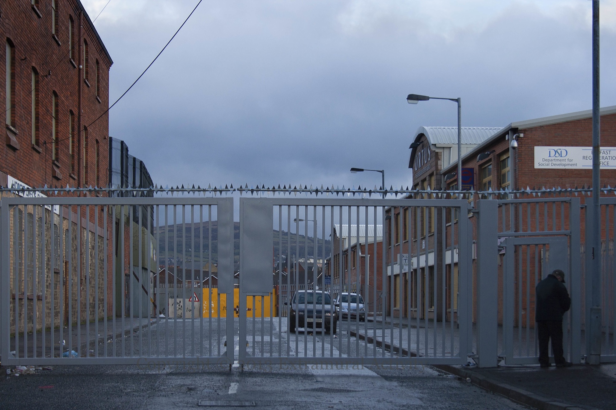
A small sign of progress, perhaps: these new gates at the bottom of Howard Street are see-through and reveal the hills in the distance. For comparison, see the solid yellow gates on the Cupar Way (Shankill) side.
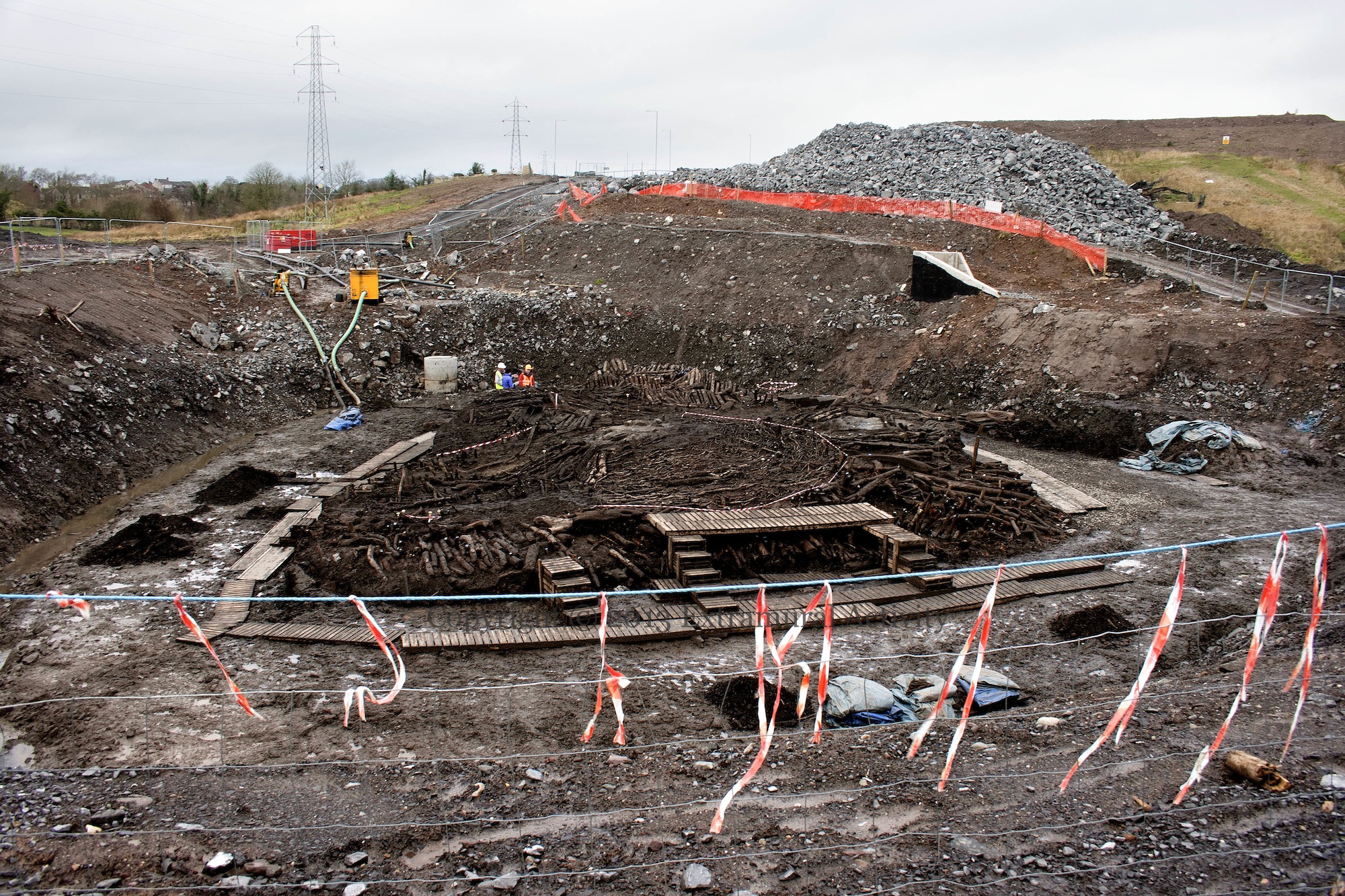
This might not look like much, but these crannóg remains in Drumclay outside Enniskillen/Inıs Ceıthleann (according to the BBC) “may be the largest house structure of the period ever to be discovered” and archaeologists have said that “their discoveries will re-write the history books of ancient Irish life.” The crannog (a compound – in this case of 30+ houses – on stilts, forming an artificial island) was brought to the public eye last (2012) summer and archaeologists have until the end of this month (March, 2013) to complete their investigations – the find is holding up construction of a road needed for the G8 summit in June. (Previously on Extramural Activity: Putting On The Ritz.)
For more details of the find and efforts to gain more time for excavation, see Robert Chapple’s blog.
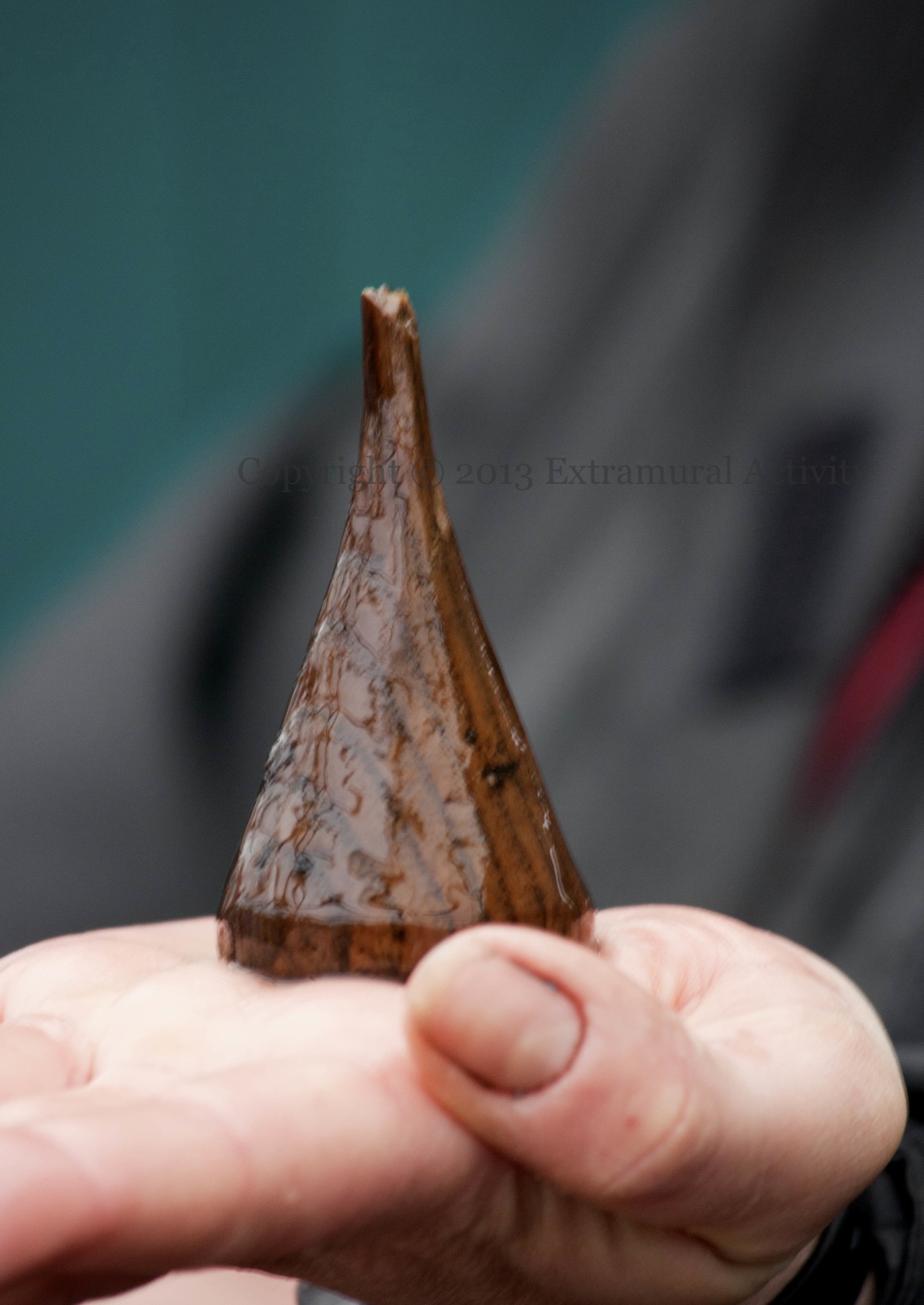
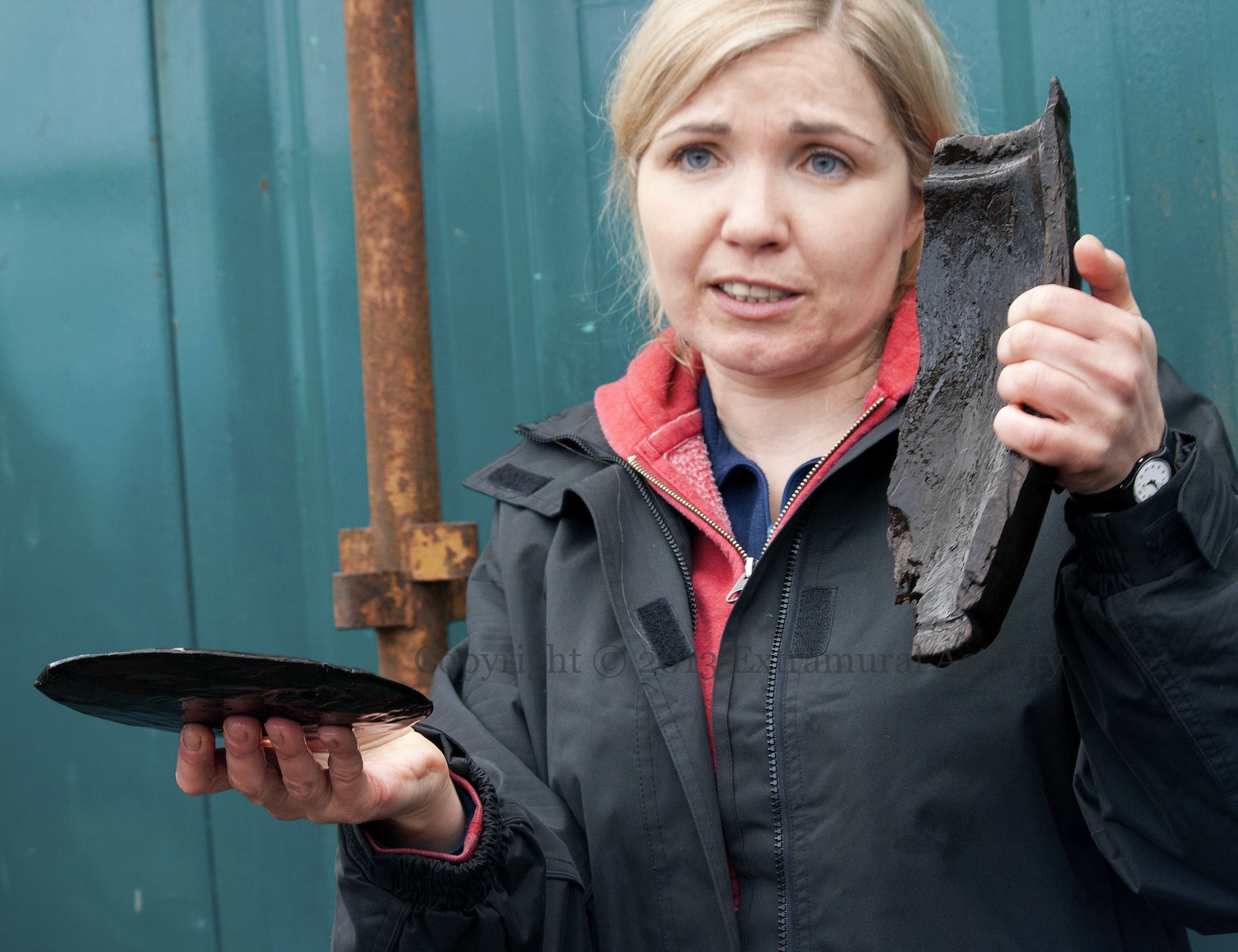
Below are images of (first) what is believed to be a game piece and (second) an archaeologist (Cathy Moore) holding up part of a vat/barrel, with an incised rim, and a disc. U.tv has a gallery of some of the more than 4,000 finds from the crannog, including combs, a shoe and shears.
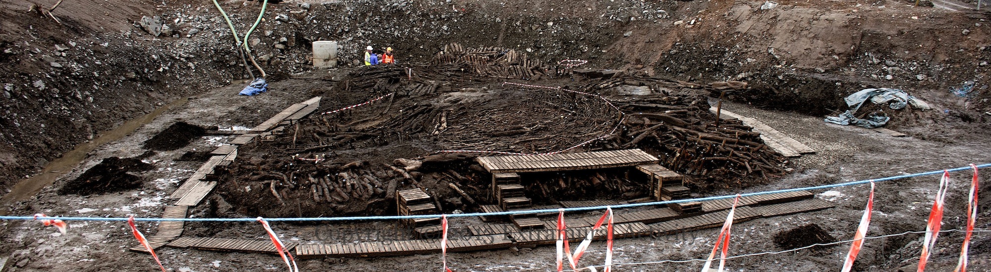
Detail of the top picture, blown up in size … in the centre, the red circle of tape indicates the location of a house, the square lighter area is a hearth.
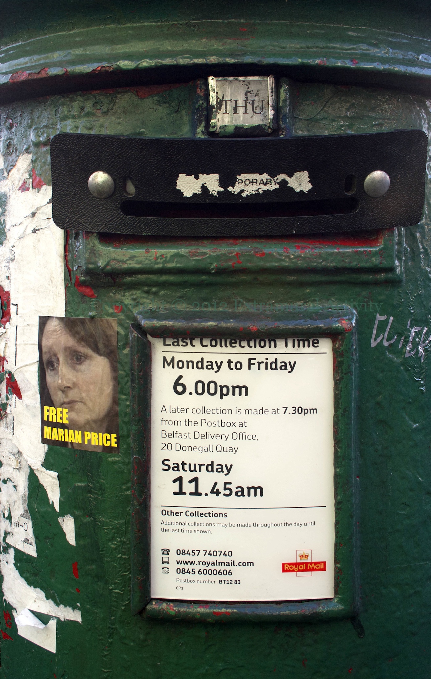
A Post Office box on the Falls Road that’s green, has a Free Marian Price sticker on it, and has a letter-only aperture to prevents parcel-bombs, pipe-bombs, etc. being inserted
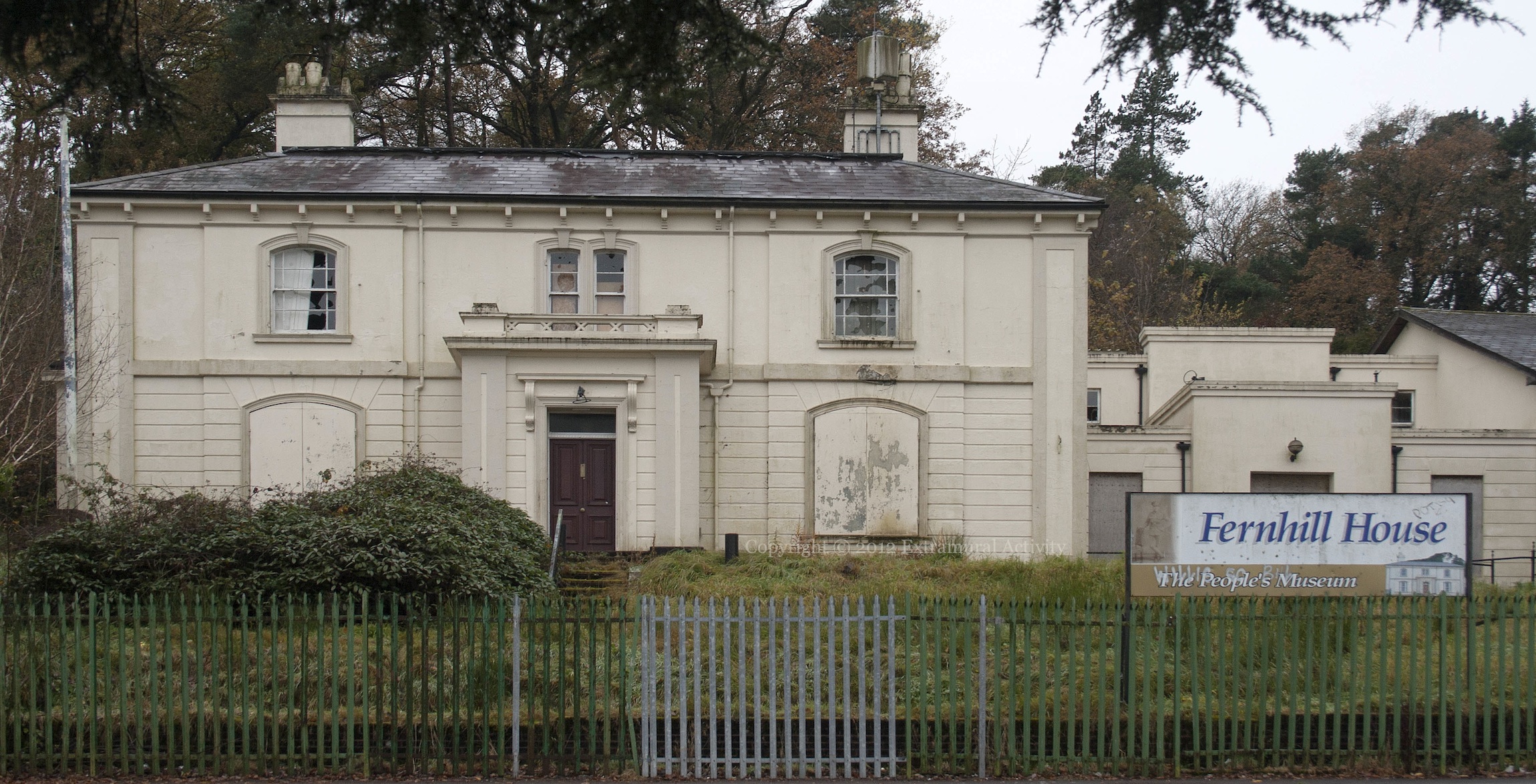
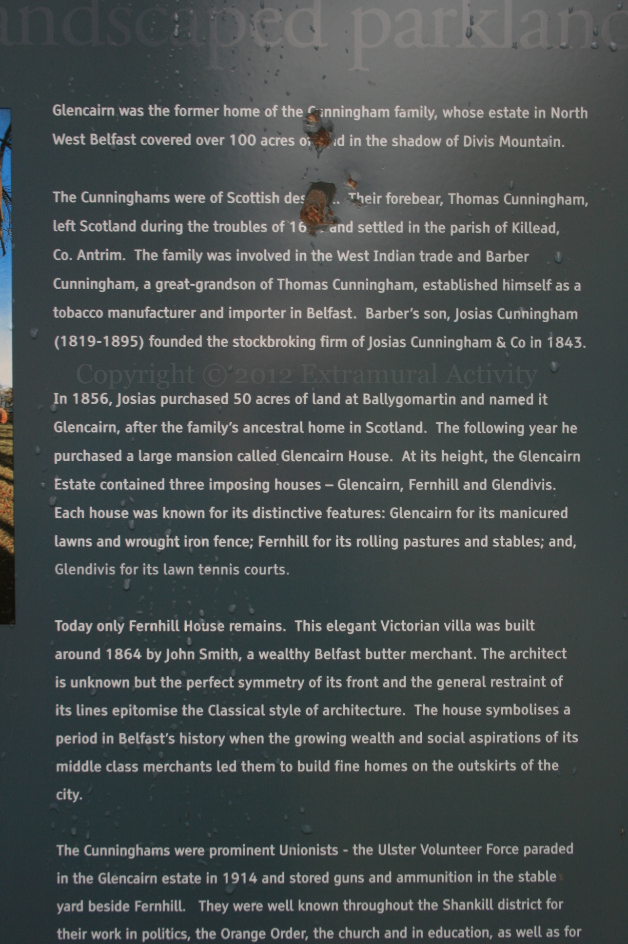
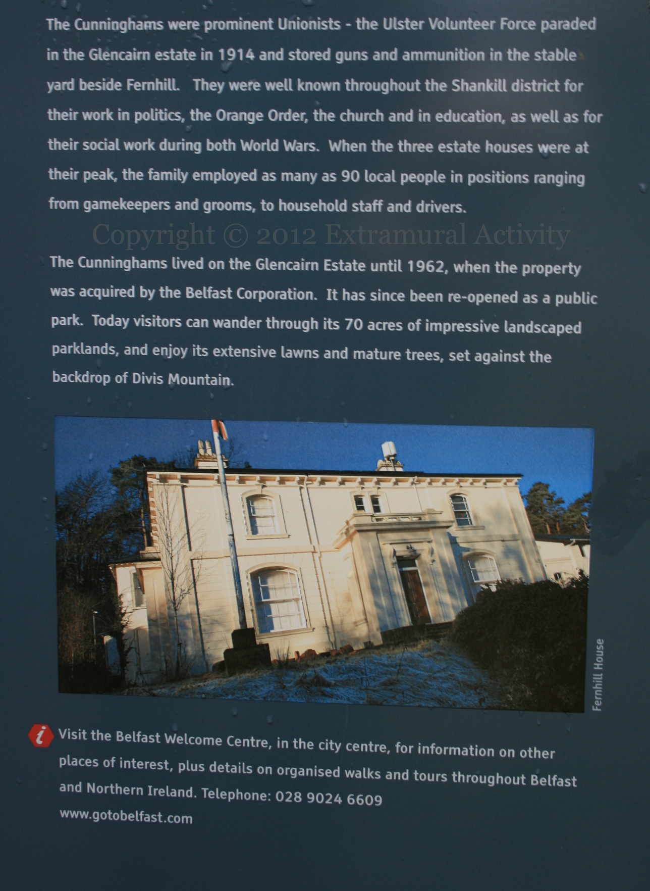
Fernhill House, which features in various loyalist murals/boards, in its present state. In 1996 it was opened as a museum, but has since been shuttered and is gradually falling into disrepair. The house is located off the modern-day Ballygomartin Road, in Glencairn Park.
 Seosamh Mac Coille Collection